Anamudi Peakഅനമുടി
The highest peak in South India, inside the Eravikulam landscape and visible on clear mornings from Munnar.
Last updated 2026-08-30 · Highrange Updates field guide
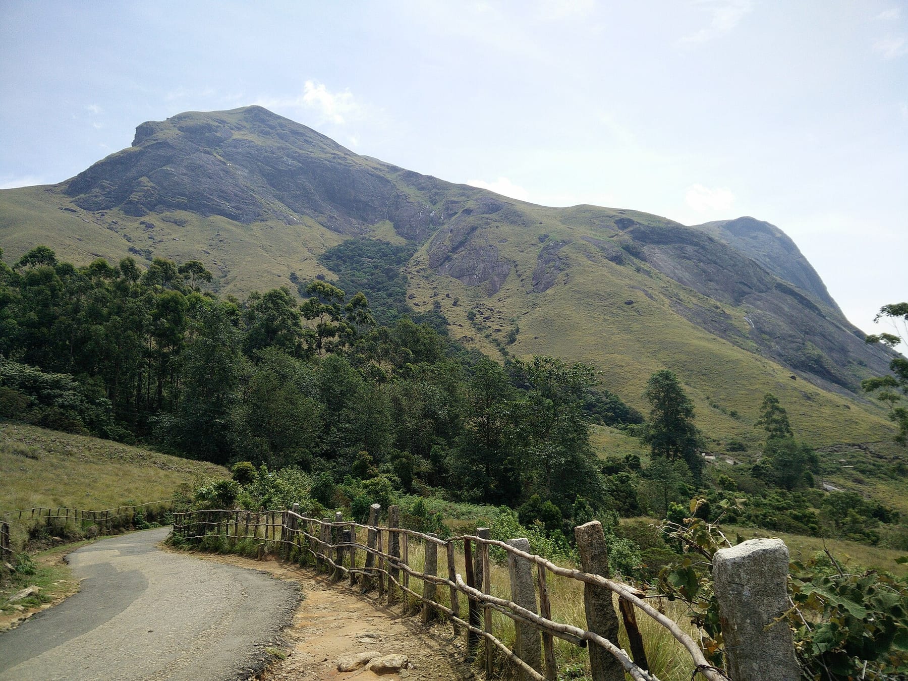
Photo: Spartacuschimera · CC BY-SA 4.0 · source
Anamudi is the highest peak in South India and the shape that dominates the skyline behind Munnar on a clear day. It sits inside the Eravikulam National Park landscape, which means access is controlled and trekking rules change from time to time.
Most visitors do not climb Anamudi. They see it from the Eravikulam bus route, from the tea slopes near Munnar, or from the road towards Lockhart Gap. That is still a rewarding experience, especially at sunrise when the lower hills are in shadow and the peak is lit.
Can you trek Anamudi?
Trekking routes in and around Eravikulam have been restricted and reopened at different times. Do not plan a climb based on an old travel blog. Check the current forest department rules and go only with authorised guides if a route is open.
There are long, demanding trails in the wider Western Ghats that pass near Anamudi. They require permits, fitness and proper navigation. For most travellers, the view is the better goal.
Best places to see the peak
Eravikulam's upper bus route gives close views on a clear morning. The roads around Lockhart Gap and the tea estates north of Munnar also frame it well. Haze is common, so keep your plan flexible and try more than one morning.
When to go
January to March usually offers the clearest views and the most comfortable walking weather. The monsoon makes the landscape green and dramatic but hides the summit most days.
Best time to visit
January to March for the clearest summit views.
How to reach
- • Base is Munnar, about 15-20 km from the town centre depending on viewpoint.
- • Eravikulam entry is by official vehicle from the park reception.
- • Combine with Eravikulam National Park and Lockhart Gap.
Field notes
- • Do not rely on unofficial trek operators.
- • Try viewpoint stops before 10 am before the haze builds.
- • Carry a light jacket; it gets cold at the upper slopes.
From the road
Frequently asked questions
How tall is Anamudi Peak?
Is trekking to Anamudi allowed?
Can I see Anamudi from Munnar?
Last reviewed for Anamudi Peak · Highrange Updates
Continue nearby
Places that fit naturally into the same trip.
National Park
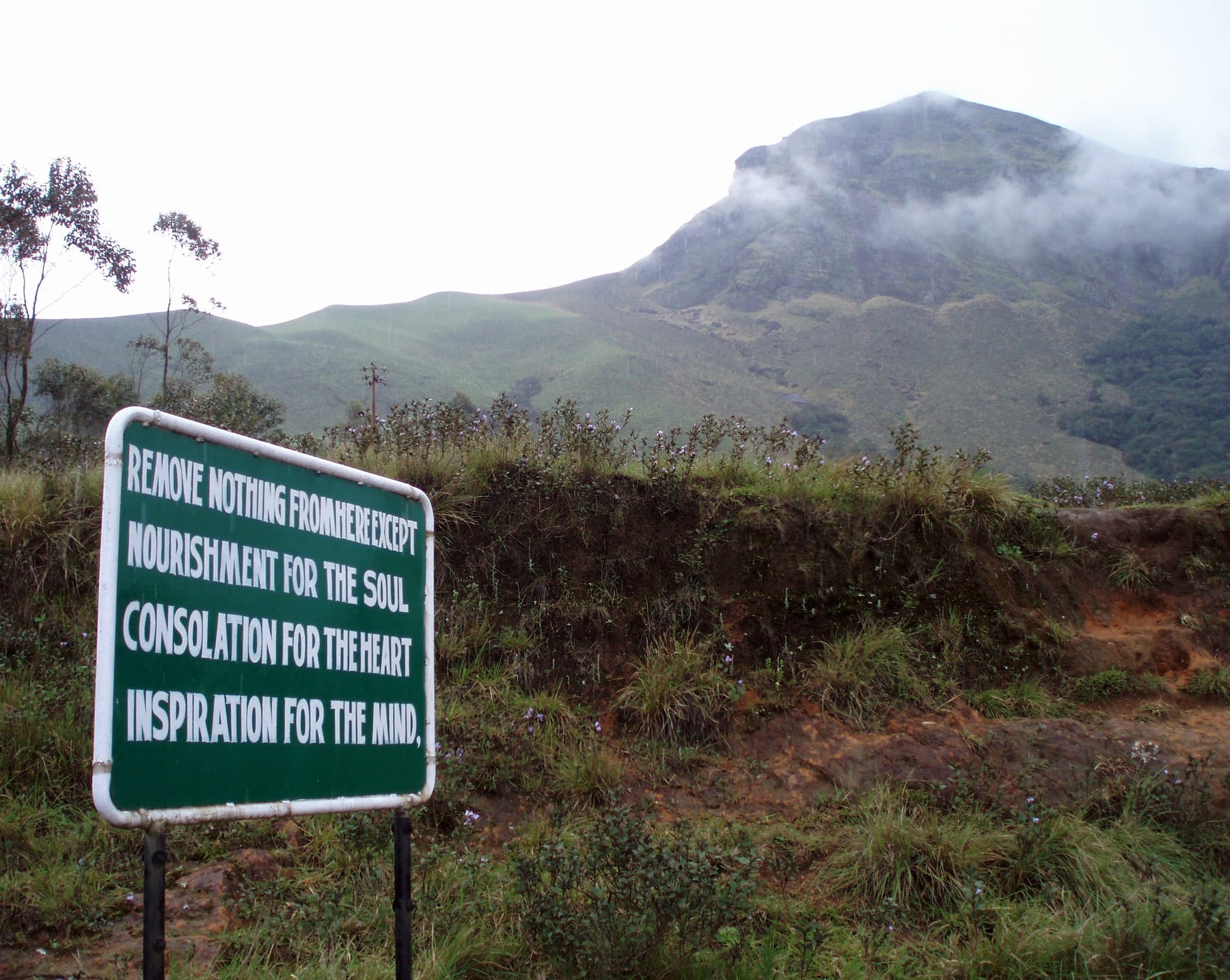
Eravikulam National Park
The home of the Nilgiri tahr, with rolling grasslands, shola forest and the Anamudi skyline near Munnar.
Read the guide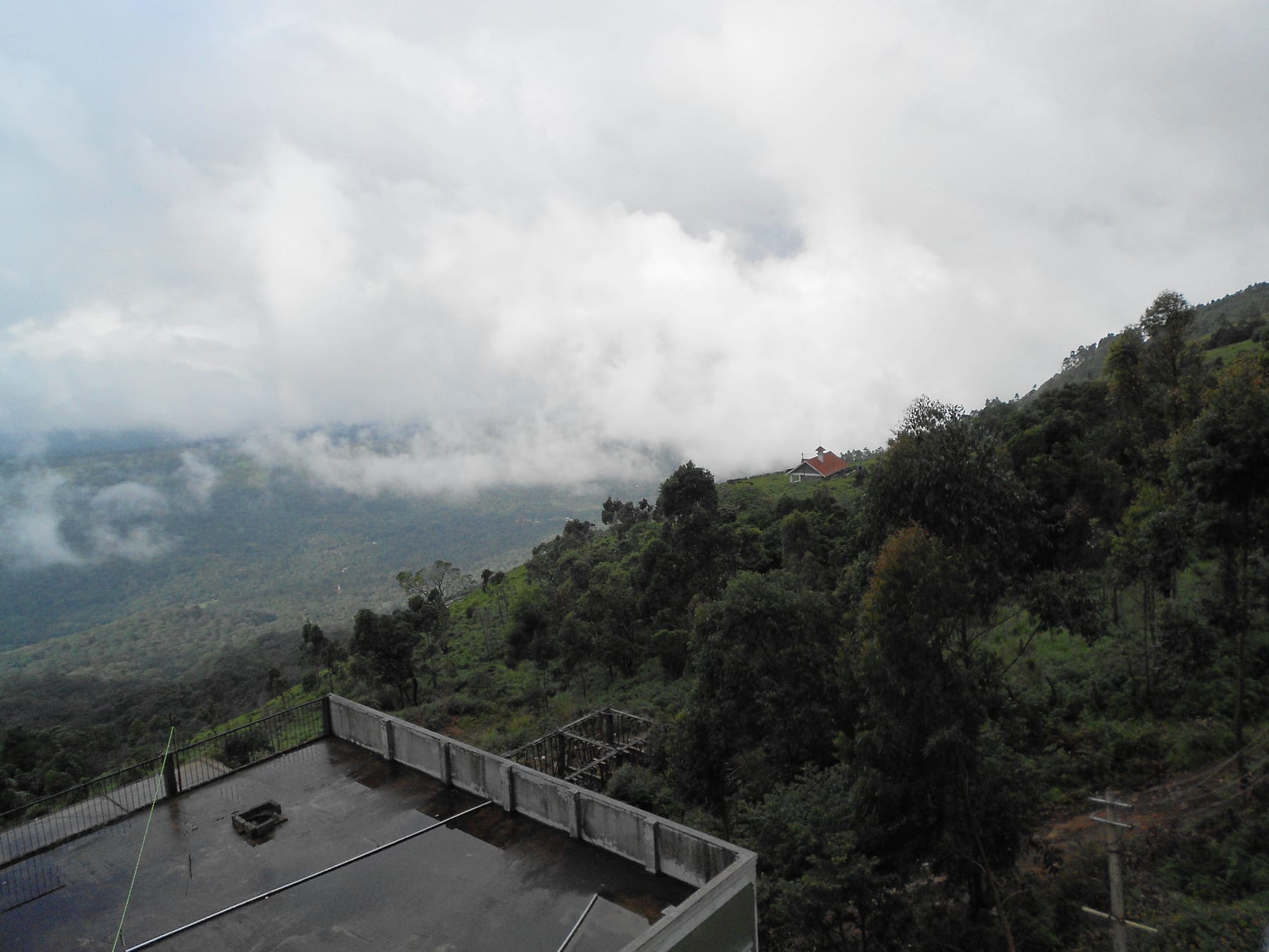
Hill Station
Munnar
Kerala's most famous hill station, built around tea estates, misty valleys and the meeting point of three rivers.
Read the guide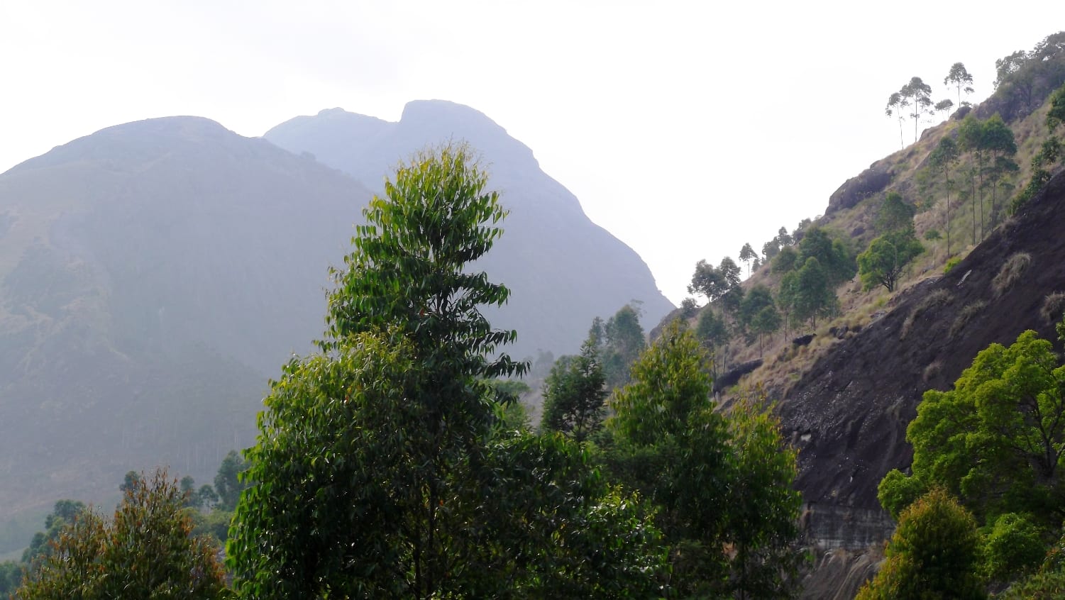
Viewpoint
Lockhart Gap
A narrow mountain pass near Munnar with layered tea valleys and a good chance of seeing Anamudi on a clear day.
Read the guideGet the Idukki Road Trip Checklist
One useful email a month: new guides, route notes, and the small stops we find on the road. No spam.